The Loch lomond and the Trossachs National Park has many interesting walking and cycling trails and on this page you can find a selection of the best or most popular routes. If you are interested in a specific town or village you can click on the pins on the Google Map Below for more information about that location.
On this page you can also find official brochures and maps from the National Park Authorities and The Forestry Commission Scotland which you are free to download and print.
The Map below includes a selection of Munros and Corbetts around Loch Lomond and The Trossachs. Also on the map is information of the nearest Town or Village and click on the pins for a list of Accommodation providers, Restaurants and Things to See and Do in National Park. Enlarge the map to obtain many useful features such as printing and getting directions.
Walking & Cycling
The Loch Lomond and the Trossachs National Park has thousands miles of walking and cycling paths. No matter if you want to go hill walking on challenging paths or just have a short walk or cycle with the whole family on one of the easier paths, you will find the right route for you.
The West Highland Way is one of the most popular long distance walking routes in Scotland. It starts in Milngavie nearby Glasgow and passes through The Park along Loch Lomond and then after 151 km (96 miles) it finishes in Fort William in the Highlands. You can find a Brochure from the official website of the West Highland Way below.
Another long distance route is the Rob Roy Way which goes through the National Park from Drymen to Killin and finishes in Pitlochry. This route can be walked or cycled and is about 75 miles long. For more information about both long distance paths and specific walking and cycling routes in the heart of the Trossachs you can visit our walking page.
For specific information about the Munros and Bens in the National Park you can visit our Mountains Page. If you want to know which lochs are in the the National Park we have include the most popular lochs on our Lochs Pages.
The National Cycle Route number 7 is a long distance cycle route which is challenging in parts and runs from Carlisle to Inverness, a distance of over 400 miles. One of the most scenic off road sections of the route passes through the National Park through the Loch Ard and Loch Achray Forests with spectacular views all round. A brochure about the Aberfoyle to Callander section of the route is available for download below. Also included for download is a Sustrans brochure on many of the great cycling routes around Scotland.
Please make sure that your trip doesn’t have any negative impact on the environment in the Park. The Scottish Outdoor Access Code is a leaflet showing you how to behave best in the outdoors and you can download it here.
Below you can find the official walking/cycling Maps and Brochures published by the National Park Authorities and Forestry and Land Scotland. Click on the PDF logo to open them.
| Category | Name |
| Hike and Bike | The Great Trossachs Forest Art & Literature Trail |
| Hike and Bike | Killin Village Path |
| Hike and Bike | Park Paths Aberfoyle |
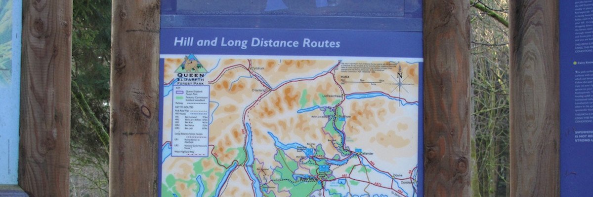
| Hike and Bike | Queen Elizabeth Forest Park (Forestry Commission) |
| Cycling | Cycling in the National Park (outer pages) |
| Cycling | Cycling in the National Park (inner pages) |
| Cycling | West Loch Lomond Cyle Path |
| Cycling | NCR 7 Aberfoyle to Callander |
| Cycling | Sustans Cycle Routes in Scotland |
| Walking | Luss Village Paths |
| Walking | Cowal Benmore & Kilmun Paths |
| Walking | Balmaha Millennium Forest Park |
| Walking | Callander Paths (outer pages) |
| Walking | Callander Paths (inner pages) |
| Walking | The Aber Trail |
| Walking | Balloch Castle Park (outer pages) |
| Walking | Balloch Castle Park (inner pages) |
| Walking | Woodland Walks |
| Walking | A Walking Guide to Inchcailloch |
| Walking | West Highland Way Pocket Companion |